RESETTING THE GLACIAL FIELD
-
This project attempts to identify the approximate points of origin of 100 mixed stones unearthed during annual tilling in a single farm field at the edge of the terminal moraine of the Laurentide Ice Sheet. The collection includes sedimentary (sandstones, limestones), igneous (granites), and metamorphic (gneisses) cobbles and boulders from the same field as the Gowganda tillite specimen identified in this archive.
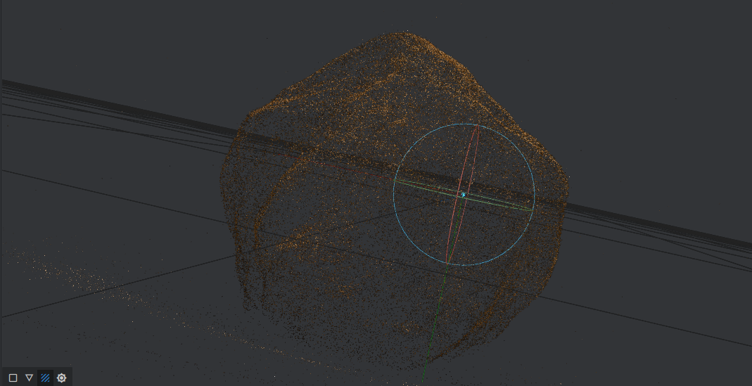
Using the morphology of the stones (including roundness, texture, and composition), as well as general knowledge of ice flow direction in the region, co-deposition of the tillite from a known outcrop, and regional lithological distribution, a best guess attempt for each stone is being plotted on a GIS map, along with a 3D image of the stone in question. The stones are being tagged with project information, and then are released back into the landscapes where they were removed from by the Laurentide Ice Sheet during the last 30,000 years, in effect resetting the glacial field.
-
DATE: ongoing (2021-present)
MATERIALS: 100 glacial erratics, GIS mapping
SCALE: earthwork
DIMENSIONS: variable
SITE: Ohio, Michigan, Ontario
STATUS: incomplete
-
An Attempt To Understand a Glacier Without Ever Having Seen One (archive record), Center for Art + Environment, Nevada Museum of Art.